 The federation
 Intranet


New map of landscape beneath Antarctica reveals undiscovered hills and mountain ranges
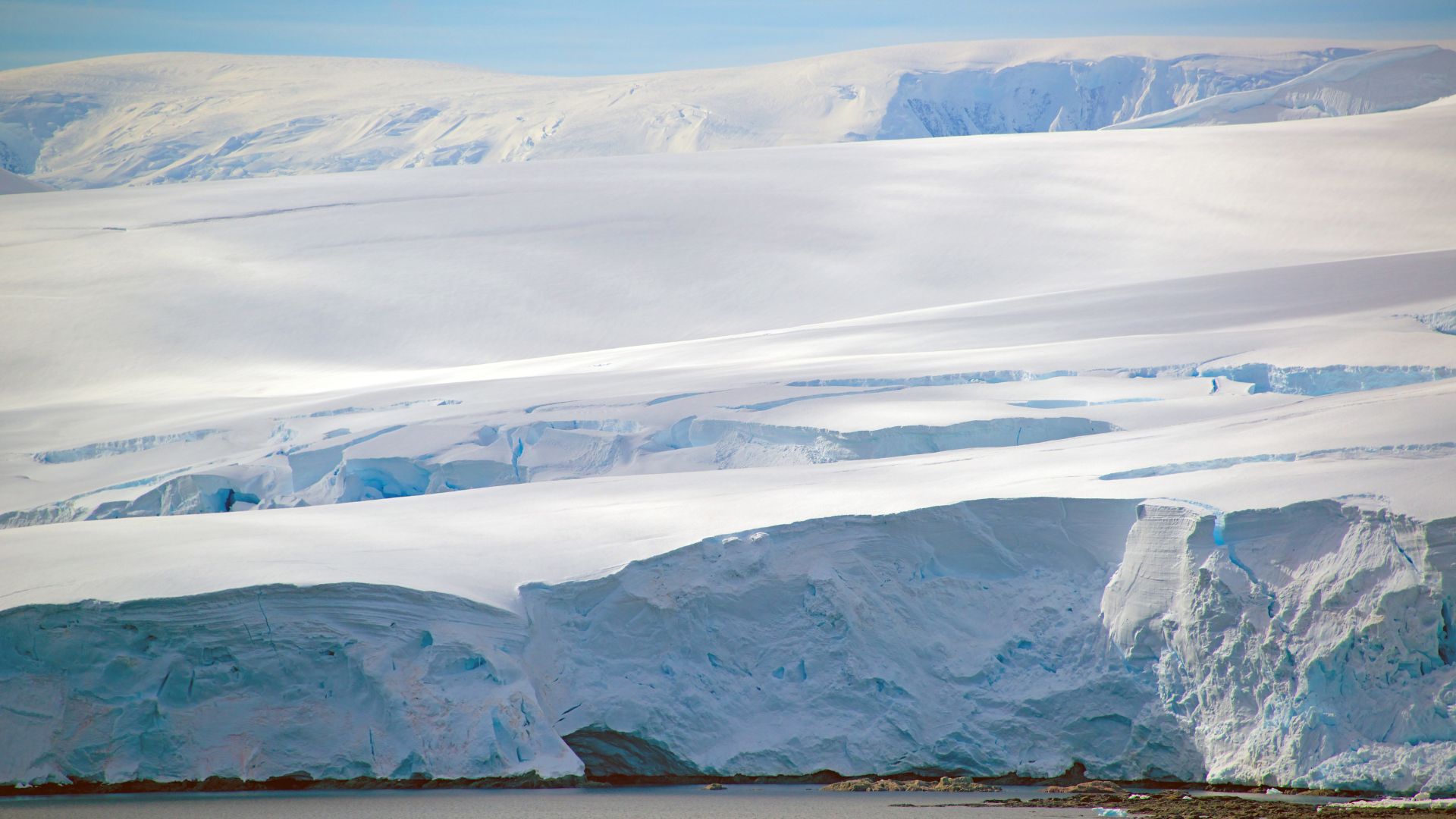
A continent we cannot see
We know less about the landscape hidden beneath the ice of Antarctica than we do about the landscapes of Mercury, Venus and Mars. But understanding the distribution of hills and plains beneath the ice is crucial for ice-sheet models, which are used to produce forecasts of how melting ice will contribute to sea-level rise in the future.
Traditionally, scientists have used ice-penetrating radars to look beneath the ice, either towed behind a snowmobile or attached beneath a plane. But these surveys are generally linear and do not tell us about the topography in three dimensions. They also contain large gaps, often of more than 10 km and sometimes up to 100 km.
Mapping the hidden landscape using ice surface clues
In the areas where there are have high resolution radar surveys, the landscape observed with the radars often shares some characteristics which are reflected in the surface of the ice above. In a new article, researchers from IGE, Dartmouth College, and the University of Edinburgh apply a new technique based on these similar characteristics to map the landscape beneath the whole of Antarctica. By combining modern satellite observations of the surface of the ice with some simple mathematics of how the ice flows, they reveal the topography hidden beneath the ice, including in the gaps between radar surveys.
Why the subglacial terrain matters for Antarctica’s future
The resulting map of the landscape beneath Antarctica uncovers more details about subglacial mountain ranges, incised canyons and wide sedimentary basins, but also includes nearly thirty thousand smaller hills which were not included in previous maps. Since rougher areas with more hills can really slow down the retreat of the ice sheet, these new details will help to improve model projections of how the ice in Antarctica will change in the future.
The subglacial landscape can also tell us about the history of Antarctica. In particular, this new map allows us to identify several regions in East Antarctica where there are small highland regions with alpine landscapes, where signs of glacial erosion are preserved. These are thought to be areas where there were multiple stages of ice-sheet growth and retreat more than 14 million years ago.
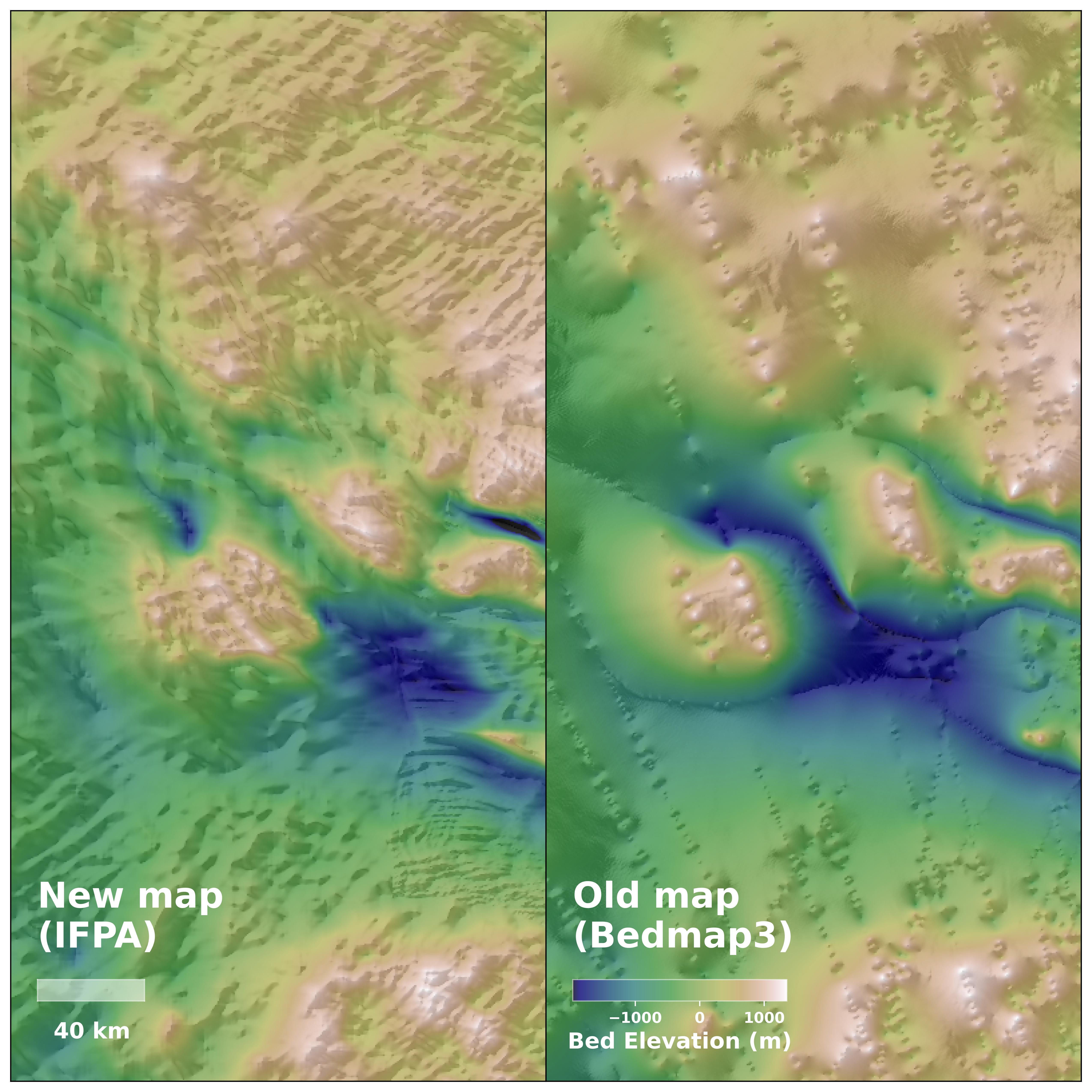
The mathematics of ice flow used while making this map contain some assumptions, and is not applicable everywhere. So, although this new map is an improvement on previous maps, there will surely be more improvements in the future, and this map should provide a valuable guide for locations to prioritize in future radar surveys.
The research was funded by the UK’s Natural Environment Research Council, and the Evans Family Foundation in the US.
Reference : Ockenden et al. Complex mesoscale landscapes beneath Antarctica mapped from space. Science, 2026. https://doi.org/10.1126/science.ady2532
Scientific contact : H. Ockenden
Author : H. Ockenden
Editor : A. Chapuis
05/02/2026